The Atlantic’s Hidden “Ghost Ocean”: Exploring the Massive Freshwater Reservoir That Could Save the East Coast
WOODS HOLE, Mass. — The Atlantic Ocean is deceptive. Stand on the deck of a ship off the coast of New Jersey or Massachusetts, and you see an endless expanse of saltwater, a hostile environment for human thirst. But 400 meters below the keel, sealed under layers of dense clay and prehistoric sediment, lies an anomaly that shouldn’t be there.
It is a ghost ocean—a colossal pocket of low-salinity water, trapped in the earth for 20,000 years.
For decades, this reservoir was a rumor. Oil companies drilling in the 1970s would occasionally hit “bad” pockets where their sensors went haywire, detecting water that wasn’t salty enough to be ocean but wasn’t oil either. They capped the wells and moved on. It took until the summer of 2025 for science to finally catch up to those accidents.
Now, following the conclusion of Expedition 501, an international drilling mission that bored deep into the continental shelf, we have confirmation. The reservoir is real. It is massive. And it fundamentally changes the equation for water security in the United States.
The Scale of the Find
To understand the magnitude of this discovery, you have to look at the numbers. The aquifer stretches roughly from the coast of New Jersey all the way up to Massachusetts, and potentially as far north as Maine. It extends 50 miles out to the edge of the continental shelf.
Current estimates put the volume at approximately 2,800 cubic kilometers (about 670 cubic miles). That number is abstract until you apply it to a city. This single reservoir holds enough water to supply New York City—with its 8 million thirsty residents and massive industrial consumption—for 800 years.
This isn’t a few scattered puddles of glacial melt. It is a continuous, pressurized system that rivals the famous Ogallala Aquifer in the Great Plains. But unlike the Ogallala, which is being drained by agriculture faster than rain can refill it, this Atlantic reserve has sat untouched since woolly mammoths walked across what is now the ocean floor.
Anatomy of a Ghost Ocean
How does fresh water end up under the ocean? The answer lies in the Laurentide Ice Sheet.
Twenty millennia ago, the world was locked in the grip of the Last Glacial Maximum. So much of the planet’s water was frozen in polar caps that sea levels were roughly 400 feet lower than they are today. The continental shelf—that shallow, submerged rim of the continent where we now fish and build wind farms—was dry land. It was a vast coastal plain exposed to the air.
As the climate began to warm, the massive ice sheets covering North America melted. Rivers of glacial runoff, combined with rainwater, saturated the sandy soil of this exposed plain. It soaked deep into the ground, filling the pores of sandstone and sediment.
Then came the rising tides. As the ice melted further, the ocean surged inland, reclaiming the shelf. But the fresh water didn’t mix with the incoming salt water. Instead, it was trapped. Layers of impermeable clay and silt settled over the top, acting like a heavy lid on a Tupperware container. The fresh water remained sealed below, pressurized and preserved, while the Atlantic Ocean rolled over the top of it.
For 15,000 to 20,000 years, it sat there. It is “fossil water”—a liquid time capsule from the Pleistocene epoch.
Seeing Through the Salt
Finding this water required looking at the ocean in a completely different way. You can’t just use sonar; sonar bounces sound waves off hard surfaces to map the topography of the bottom. It tells you where the mud is, not what’s underneath it.
To see inside the seabed, scientists turned to electromagnetic imaging.
The principle is simple physics. Salt water is an excellent conductor of electricity because of the dissolved ions. Fresh water, by contrast, is a resistor. It fights the flow of current.
In 2015 and later in 2019, researchers from Columbia University’s Lamont-Doherty Earth Observatory and the Woods Hole Oceanographic Institution towed electromagnetic receivers behind ships. They pulsed radio waves into the seafloor and listened for the return signal.
If the seafloor was solid rock or saturated with seawater, the signal would behave one way. But the data showed gigantic bands of high resistivity stretching for miles. It was the electromagnetic equivalent of an X-ray showing a bright white bone. The only geologic material that could resist the current that strongly was fresh water.
The maps they generated were stunning. They showed a continuous band of fresh and brackish water starting just off the Jersey Shore and running north past Martha’s Vineyard. But maps are just pictures. To be sure, someone had to drill.
Expedition 501: The Liftboat Robert
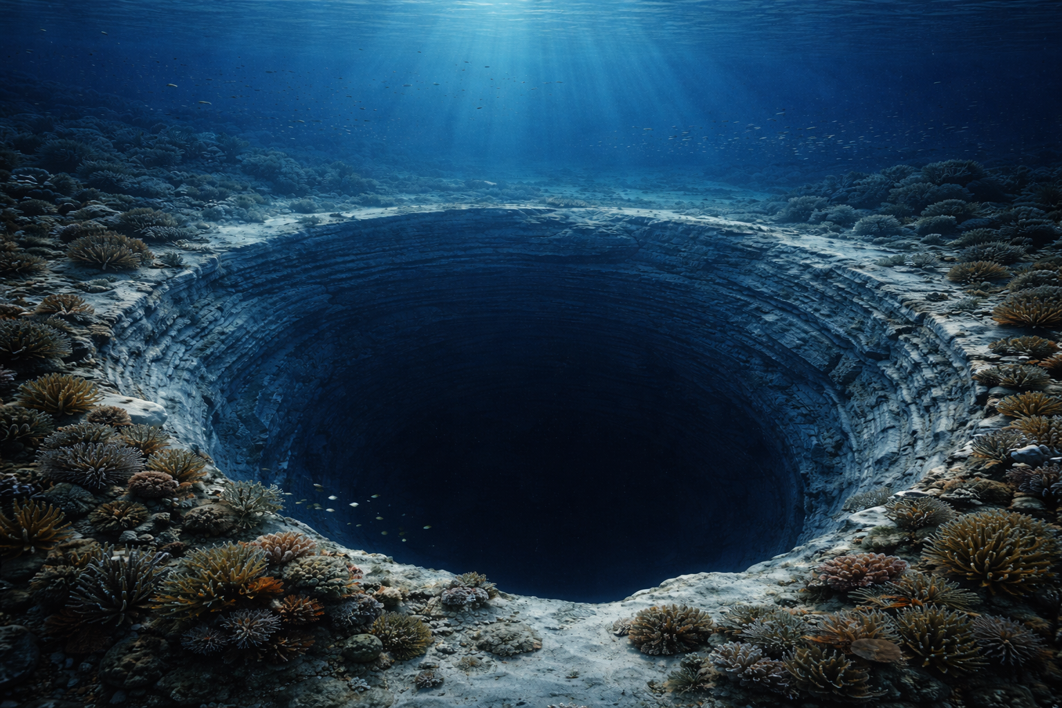
In May 2025, the Liftboat Robert chugged out of port. This wasn’t your standard research vessel. It was a liftboat—a self-propelling barge equipped with three massive legs. Once it reached the target site south of Martha’s Vineyard, the Robert lowered its legs to the seafloor and jacked its entire hull out of the water, turning itself into a stable, temporary platform high above the waves.
The mission, funded by the National Science Foundation and the European Consortium for Ocean Research Drilling, was dubbed Expedition 501. Led by hydrogeologist Brandon Dugan of the Colorado School of Mines, the team had one goal: pull up the water.
Drilling into a pressurized aquifer offshore is a nightmare of engineering. You have to bore through hundreds of feet of ocean water, then hundreds of feet of muck, clay, and sand, all while ensuring you don’t accidentally contaminate the sample with the very seawater you’re floating on.
The team used a specialized system to core into the sediment. When they hit the target depth—nearly 400 meters down—they didn’t just find damp sand. They found water.
The samples they brought up weren’t Evian, but they were shockingly close. Ocean water has a salinity of about 35 parts per thousand (ppt). The water the Robert pulled up registered as low as 1 ppt in some boreholes. That is technically fresh water. In other areas, it was brackish, around 15 ppt, but still significantly less salty than the sea above it.
“It was quite the project and sort of a lifelong dream,” Dugan noted after the expedition. The sheer volume of low-salinity water confirmed that the electromagnetic maps weren’t lying.
The Economics of Brackish Water
This discovery forces a hard question: Why do we care?
We have plenty of water in the ocean. If we need it, we can just desalinate it. We already do this in places like Carlsbad, California, and throughout the Middle East.
But desalination is brutally expensive. It requires an immense amount of energy to force seawater through reverse osmosis membranes at high pressure to strip out the salt. It costs roughly $2,000 to $3,000 to produce an acre-foot of water from the ocean.
This is where the “ghost ocean” becomes an economic asset.
Desalinating water that is 15 ppt (brackish) takes significantly less energy than desalinating water that is 35 ppt (seawater). The osmotic pressure is lower. You don’t need pumps that are as powerful, and the membranes last longer.
If you can tap into this offshore reservoir, even if the water isn’t perfectly fresh, you are starting the race halfway to the finish line. The cost reduction could be 30% to 50% compared to traditional seawater desalination. For a coastal city facing a drought, that margin is the difference between an affordable water bill and a municipal crisis.
Furthermore, the water at the 1 ppt level requires almost no treatment beyond standard filtration and chlorination. It is essentially ready to drink.
The Engineering Hurdles
Accessing it, however, is not as simple as dropping a straw.
Offshore drilling is the domain of oil giants like Exxon and BP. They have the infrastructure to drill miles deep, but they are chasing a commodity that sells for $70 a barrel. Water sells for pennies per ton.
Building a permanent offshore platform to pump water is likely cost-prohibitive. The infrastructure maintenance in the harsh North Atlantic—with its nor’easters and corrosive salt spray—would eat up any savings gained from the lower salinity.
A more likely engineering solution involves subsea wells connected to onshore pumping stations. The technology already exists; the oil industry uses “subsea tiebacks” to connect satellite wells to a central hub. We could see a future where the ocean floor off Long Island or Cape Cod is dotted with wellheads, silently pumping glacial water through buried pipelines back to the mainland.
But this brings its own risks. If you pump too fast, you risk “subsidence.” The ground settles when you remove the water that was holding it up. On land, this cracks foundations. Offshore, it could destabilize the continental slope or damage the very pipelines carrying the water.
There is also the risk of saltwater intrusion. If you suck the fresh water out, the surrounding high-pressure seawater will try to rush in to fill the void. Once salt water contaminates the reservoir, the asset is ruined forever.
The Legal Battlefield
The most complicated part of this discovery isn’t the geology or the engineering. It’s the law.
Who owns the water under the ocean?
In the United States, the legal framework for offshore resources is a layered cake of jurisdiction.
The Submerged Lands Act of 1953 grants coastal states title to natural resources within 3 nautical miles of their coastline (9 miles for Texas and Florida’s Gulf coast). Most of this aquifer lies well beyond that, in the 20-to-50-mile range.
That places it squarely on the Outer Continental Shelf (OCS). Resources here fall under federal jurisdiction, managed by the Bureau of Ocean Energy Management (BOEM). BOEM is used to leasing blocks for wind farms and oil rigs. They have no existing framework for leasing blocks for water.
If New Jersey wants to drill a well 30 miles offshore to supply Newark, they would need a federal lease. But would the federal government charge royalties on water? Would Massachusetts sue if a well in federal waters pumped “their” portion of the aquifer dry?
Groundwater law on land is already a mess of “rule of capture” versus “reasonable use.” Moving that litigation into the Exclusive Economic Zone (EEZ)—where international maritime law also comes into play—creates a legal vacuum that will take years to fill.
We also have to consider the “fossil” nature of the water.
Is this a renewable resource? Researchers from Expedition 501 are currently analyzing the isotopic signature of the water to answer this specific question. If the water is 20,000 years old and not being recharged by modern rain, it is a non-renewable resource. It is mining, not harvesting. Once it’s gone, it’s gone.
If it is connected to onshore aquifers—meaning rain in the Catskills eventually seeps under the ocean to refill the reserve—then it is renewable, but pumping it could lower the water table on land. You might turn on a tap in the ocean and dry up a well in the Hamptons.
A Strategic Reserve
Despite the hurdles, the strategic value of the Atlantic aquifer is undeniable.
Climate models predict that the Northeast US will see more precipitation in the coming decades, but it will come in violent bursts rather than steady rain, leading to runoff rather than aquifer recharge. Simultaneously, rising sea levels are pushing saltwater into coastal aquifers on land, salinating the wells that millions rely on.
We are losing our fresh water from the land side just as we discover a massive supply on the ocean side.
This reservoir represents a “break-in-case-of-emergency” option. It may not be the primary water source for 2026 or 2030. But as population density along the I-95 corridor increases and climate volatility threatens surface reservoirs, having 670 cubic miles of water sitting in the bank is a geopolitical asset.
It also changes the global map. The US isn’t the only country with a continental shelf that was once dry land. Similar formations have been spotted off the coast of Australia, China, and South Africa. Expedition 501 didn’t just find water for America; it proved the concept for the world.
The View from the Shore
Back in Woods Hole, the scientists are still processing the thousands of liters of samples brought back by the Liftboat Robert. They are sequencing DNA to see what microbes have been living in the dark, high-pressure isolation of the aquifer for millennia. They are measuring isotopes to pin down the exact date the water was trapped.
But for the average citizen, the takeaway is simpler. We used to look at the ocean as the limit of our world—the place where the land, and our resources, ended. That view is obsolete. The shoreline is just a line on a map, not a geological boundary.
The continental shelf is a submerged extension of our backyard, and it turns out we left the hose running 20,000 years ago. Now, we just have to figure out how to pick it up.